Description
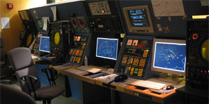
The role of CIMACT is to support military flying activities in dense civil air traffic environments. For optimal co-ordination between Civil ATC and Military ATC, Command and Control Centres or Airbases, the system is optimised to:
- Provide safe and shared use of the limited airspace.
- Ensure separation between civil and military aircraft with widely differing performance and mission profiles.
- Accommodate sufficient airspace for military training and exercises.
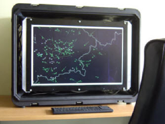
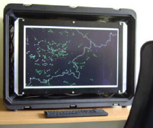
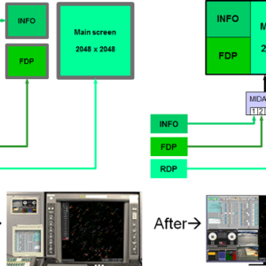
Military controllers use CIMACT to display a Recognised Air Picture together with correlated flight plan data. The controllers information suite includes:
- Impending loss of separation between aircraft (STCA Short Term Conflict Alert).
- Identity of the civil controller actually in control of the flight.
- Altitude (derived from radar mode C).
- Attitude (climbing, descending or in level flight).
- Attitude intentions of the aircraft (climb or descent).
- Cleared flight level.
- Flight plan information.
The system is highly flexible and capable of processing data from:
- Flight plan Sources.
- Radar sources.(track data, primary and secondary radar plot data).
- Non radar sources including the Skymaster Airborne GPS System.
- Detailed static map data derived from the European Aeronautical Database (EAD).

